
Infrastructure guide
What is hydrological modeling infrastructure?
Not the solver alone — the full stack from NHDPlus HR and national soils to automated delineation, cloud calibration, and the SWAT+ engine that actually integrates the water balance.
The short answer
Hydrological modeling infrastructure is everything that sits between raw agency datasets and a defensible simulation: harmonized national inputs, automated watershed delineation on NHDPlus HR, quality checks, versioned model packages, optional cloud-based SWAT+ calibration, and the core engine (SWAT+, often coupled to MODFLOW) that integrates the water balance. Install SWAT+ on a laptop and you have software; wire it to clipped gSSURGO, burned 3DEP, and a million mapped reaches and you have infrastructure.
The ecosystem: Data → Infrastructure → Core Engine
Think of three layers. Data supplies the physical fields and observations. Infrastructure turns an outlet or gauge into a reproducible model package with audits and APIs. The core engine is the numerical integrator — valuable, but only as good as the two layers beneath it.
Data layer — national inputs with stable identifiers
Hydrography, terrain, soils, land cover, climate, and observations — clipped, reprojected, and keyed so a gauge, a HUC12, or a monitoring site resolves to the same features every build.
- NHDPlus HR stream network and catchment boundaries (COMID / HUC12)
- USGS 3DEP elevation burned to mapped channels for automated watershed delineation
- gSSURGO / STATSGO soils, NLCD or Cropland Data Layer land cover, PRISM / NSRDB climate
- USGS streamflow and Water Quality Portal observations for calibration context
- Specialized inventories — well lithology, soil PFAS, regional regulatory layers — joined by place ID
Infrastructure layer — automation, QA, and delivery
The repeatable machinery: delineate from an outlet, assign HRUs, audit drainage areas against NHD TotDASqKm, version TxtInOut packages, schedule cloud calibration trials, and expose maps and downloads through APIs.
- Automated watershed delineation and HRU construction (QSWAT+ / SWAT+ Editor workflows)
- NHDPlus HR automation tools — reach assignment, lake routing, station-to-channel matching
- Quality gates: drainage-area tolerance, object-graph cycle checks, channel connectivity audits
- Cloud-based SWAT+ calibration orchestration (parallel PSO / screening with tracked objectives)
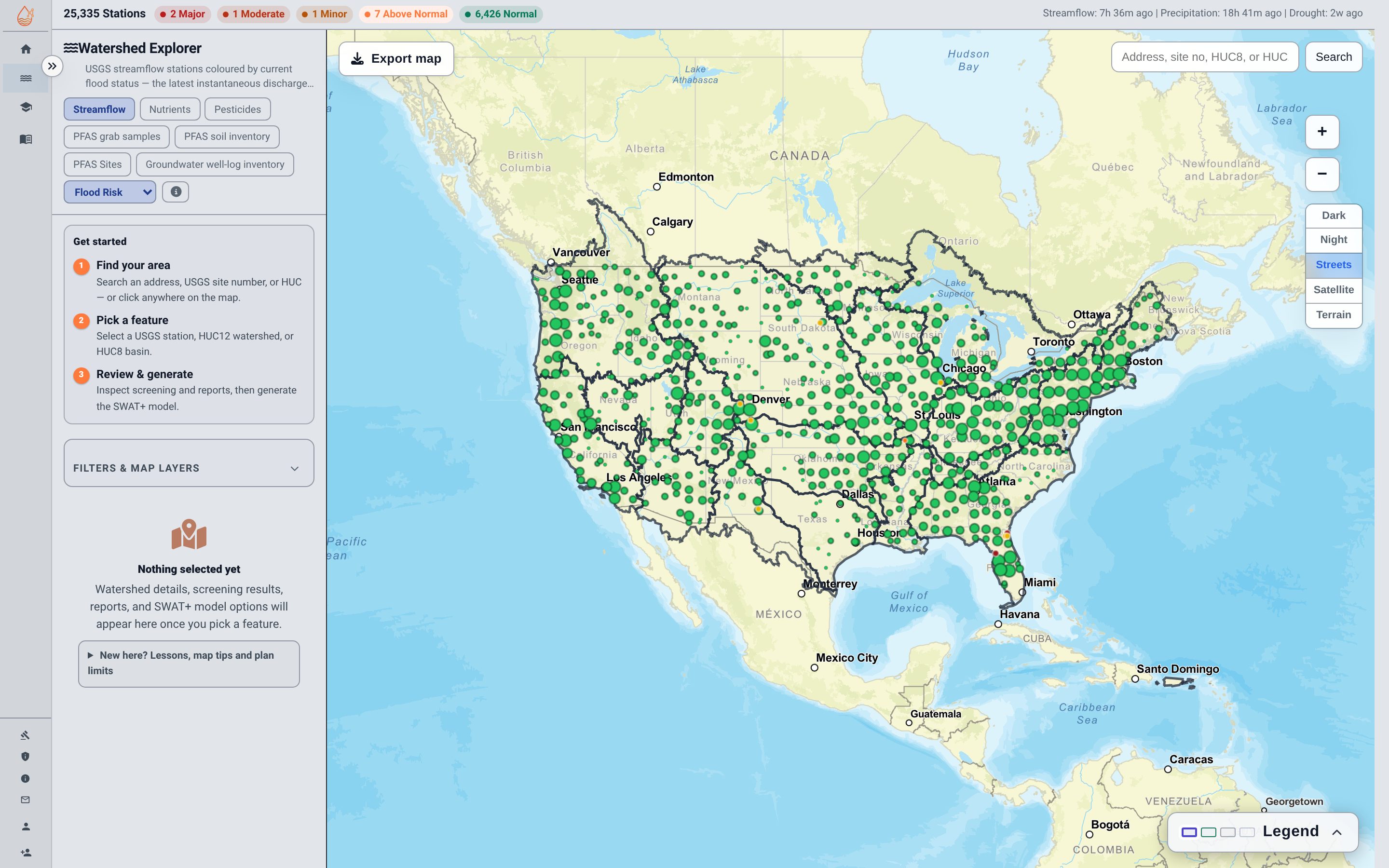
- Hosted Explorer, model ordering, and programmatic access — the product surface on top of builds
Core engine — the physics solver
SWAT+ for continuous land-surface and channel routing; MODFLOW 6 when groundwater storage and three-dimensional transport matter; coupled exchanges when vadose and aquifer pathways must agree.
- Daily water balance, sediment, and nutrient routing at HRU and reach scale
- Groundwater–surface-water coupling where MODFLOW replaces the simplified aquifer store
- Constituent fate extensions (e.g. PFAS sorption and transport) on research builds
- Parallel execution with byte-identical serial checks on production engine builds
Where SWATGenX sits in the stack
SWATGenX is modeling infrastructure built around SWAT+ and, where enabled, coupled MODFLOW 6: national data joins, automated model generation from a USGS gauge or HUC boundary, Watershed Explorer for screening, and downloadable TxtInOut for offline calibration. It is not a replacement for desktop GIS — it is the layer that makes the same workflow repeatable at CONUS scale. For a step-by-step introduction to watershed models themselves, start with the watershed modeling guide; for engine internals, see methodology and the production engine.
Frequently asked
Plain-language answers on hydrological modeling infrastructure, automated delineation, and cloud calibration.
What is hydrological modeling infrastructure?
Hydrological modeling infrastructure is the stack that turns national hydrographic, soil, climate, and monitoring data into repeatable watershed models: curated inputs, automated delineation and QA, compute and calibration services, and a simulation engine. It is the layer between raw agency datasets and the equations that predict flow, water quality, or groundwater.
What is the difference between modeling software and modeling infrastructure?
Software is the solver — SWAT+, MODFLOW, HEC-HMS. Infrastructure is everything around it: clipping NHDPlus HR to a basin, assigning gSSURGO soils to HRUs, wiring PRISM weather, checking drainage areas, versioning builds, and exposing results through APIs. You can install software on one laptop; infrastructure is what makes the same workflow work at national scale.
What data does hydrological modeling infrastructure need?
At minimum: a hydro-enforced digital elevation model, a mapped stream network (NHDPlus HR in the US), soils, land cover, climate forcings, and outlet observations for calibration. Groundwater-coupled studies add well logs, aquifer geometry, and sometimes contaminant inventories. Infrastructure harmonizes projections, units, and identifiers so every build starts from the same national baseline.
What is automated watershed delineation?
Automated watershed delineation traces every cell draining to an outlet using a DEM, usually with a burned-in hydrography layer so channels follow mapped streams rather than spurious pits. NHDPlus HR provides the national stream network and catchment identifiers; infrastructure uses them to split a basin into subbasins and hydrologic response units without hand-digitizing boundaries.
How does cloud-based SWAT+ calibration fit in?
Calibration infrastructure runs many parameter sets in parallel — particle swarm or Morris screening on cloud workers — while tracking which build, which gauge, and which period each run used. The engine stays local or on HPC; the infrastructure schedules trials, enforces mass-balance checks, and stores objective scores so a human can accept or reject a parameter set with an audit trail.
Why use NHDPlus HR automation instead of threshold delineation alone?
Threshold delineation from a raw DEM invents its own stream network, which rarely matches the mapped NHD reach IDs agencies publish. NHDPlus HR automation assigns every model reach to a national identifier, preserves known lake and reservoir routing, and makes downstream data — gauges, water-quality sites, PFAS inventories — joinable by HUC and COMID. That joinability is what infrastructure buys.
Next steps
Page published 2026-08-23.