
Chesapeake Bay
Upper Chesapeake
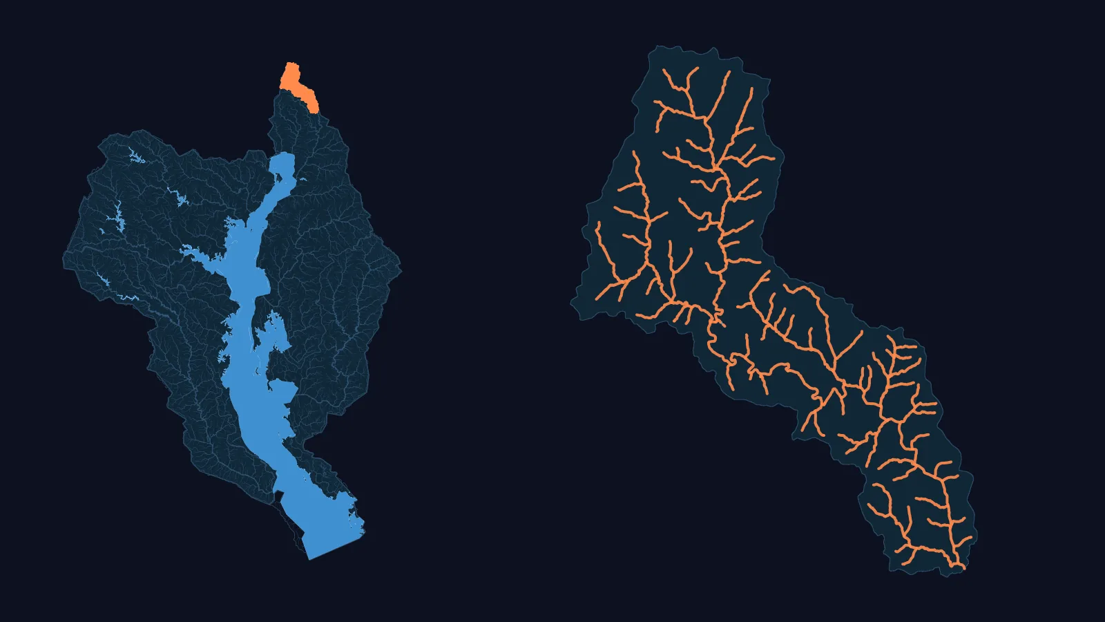
- 1 published SWAT+ model
- NHDPlus HR: 17,027 km of network flow paths, 1.81x NHDPlus V2.1's 9,385 km, over catchment areas that differ by 7.0 % between the two datasets
- 67 USGS gauges with a 90 % daily record, 2014-2024 (5 of 5 HUC8s covered)
- 5 HUC8s both datasets carry, 13,245.5 km² (WBD HUC12 sum)
Not in this comparison: HUC8 02060001 (in NHDPlus HR only) and 02060008 (in NHDPlus V2.1 only).
Basin: HUC4 0206 (Upper Chesapeake) of the USGS Watershed Boundary Dataset.
Our models in this basin
Chester-Sassafras · USGS 01495000 (Big Elk Creek at Elk Mills)
Model outputs
- Little Gunpowder Falls at Laurel Brook, MD · USGS 01584500 · gauge drainage area 93.5 km² · Not offered: no channel at the gauge, so no flow chart
- Big Elk Creek at Elk Mills, MD · USGS 01495000 · gauge drainage area 133.6 km² · Open the model
NHDPlus HR, not Version 2, in this basin
National models at this basin's gauges
At the 49 USGS benchmark gauges in this basin: NWM v2.1 median KGE 0.43, NHM median KGE 0.49. This is the national models' published skill at these gauges, not SWATGenX's. Source: Towler et al. 2023 data releases, DOI 10.5066/P9QT1KV7 (NWM v2.1) and 10.5066/P9DKA9KQ (NHM).
A model of your Bay watershed
We build a SWAT+ model for a USGS stream gauge in the Bay's four regions, on NHDPlus HR. You download it as files you open in SWAT+ Editor and run, and you keep the files.