
Klamath-Northern California Coastal
Our model: Mad-Redwood · USGS 11481200 (Little River near Trinidad)
 SWATGenX
California
We build SWAT+ models on NHDPlus HR for a USGS stream gauge or a watershed in California, from national data.
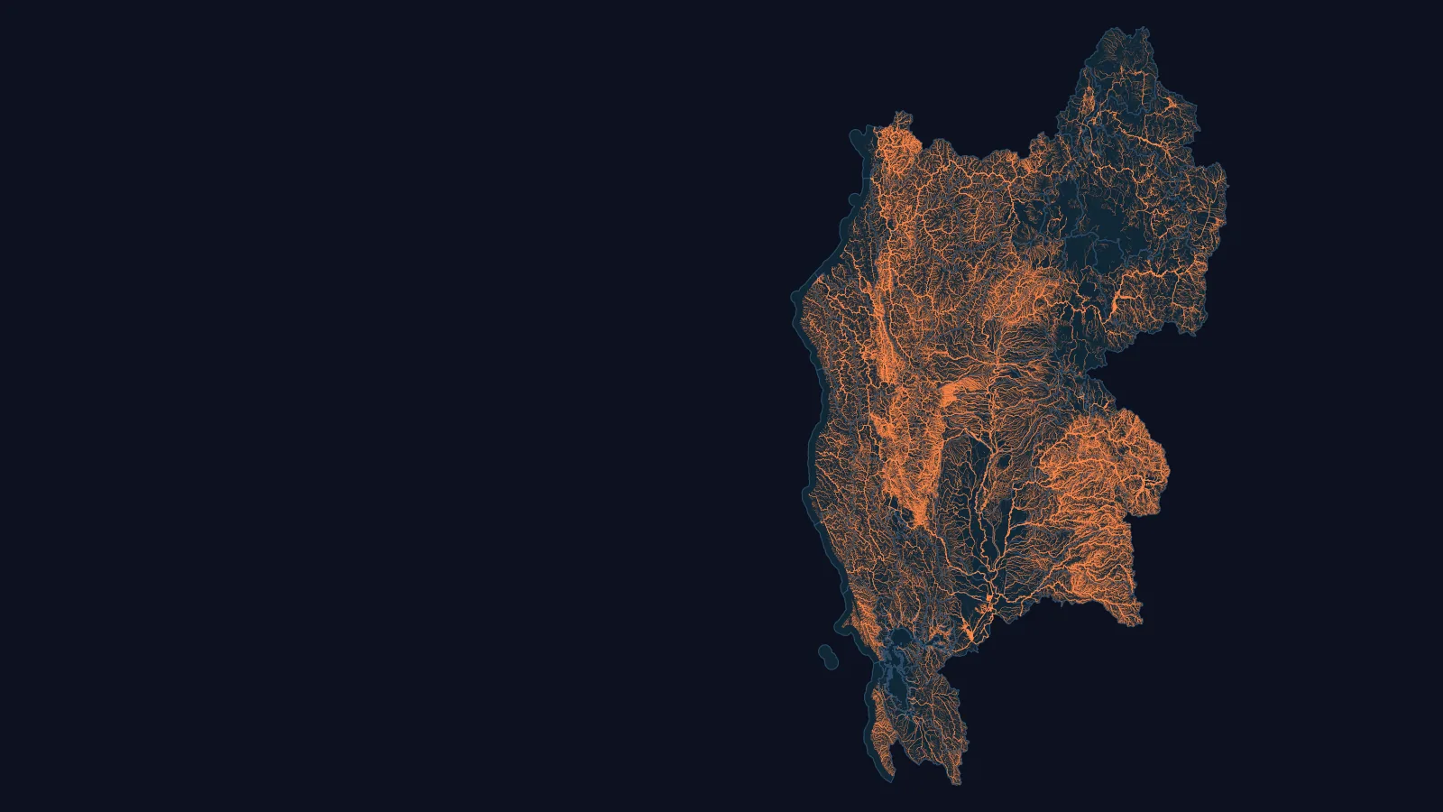
Also published in this area, not drawn on this map: Lower Sacramento (Catchment set in HUC12 180201630402).
Example models you can open: USGS 11481200.
Across the 56 HUC8s of the Klamath-Northern California Coastal, Sacramento and San Francisco Bay basins, NHDPlus HR maps 3.1 times the network flow paths of NHDPlus V2.1, canals included in both counts.
Basin by basin: 3.2, 3.1 and 2.6 times. Without canals in either count, 3.0 times overall: the difference is in streams and rivers.
NHDPlus HR divides the same land into about 827,000 catchments, where V2.1 has about 57,000.
We build a SWAT+ model for a USGS stream gauge in California, from national data. You download it as files you open in SWAT+ Editor and run, and you keep the files.
Every published California model has its own page: SWAT+ models in California.
MODFLOW 6 groundwater models are offered in Michigan Lower Peninsula, Indiana, Minnesota, Ohio, Wisconsin. California is not among them.