
Florida
Peace-Tampa Bay
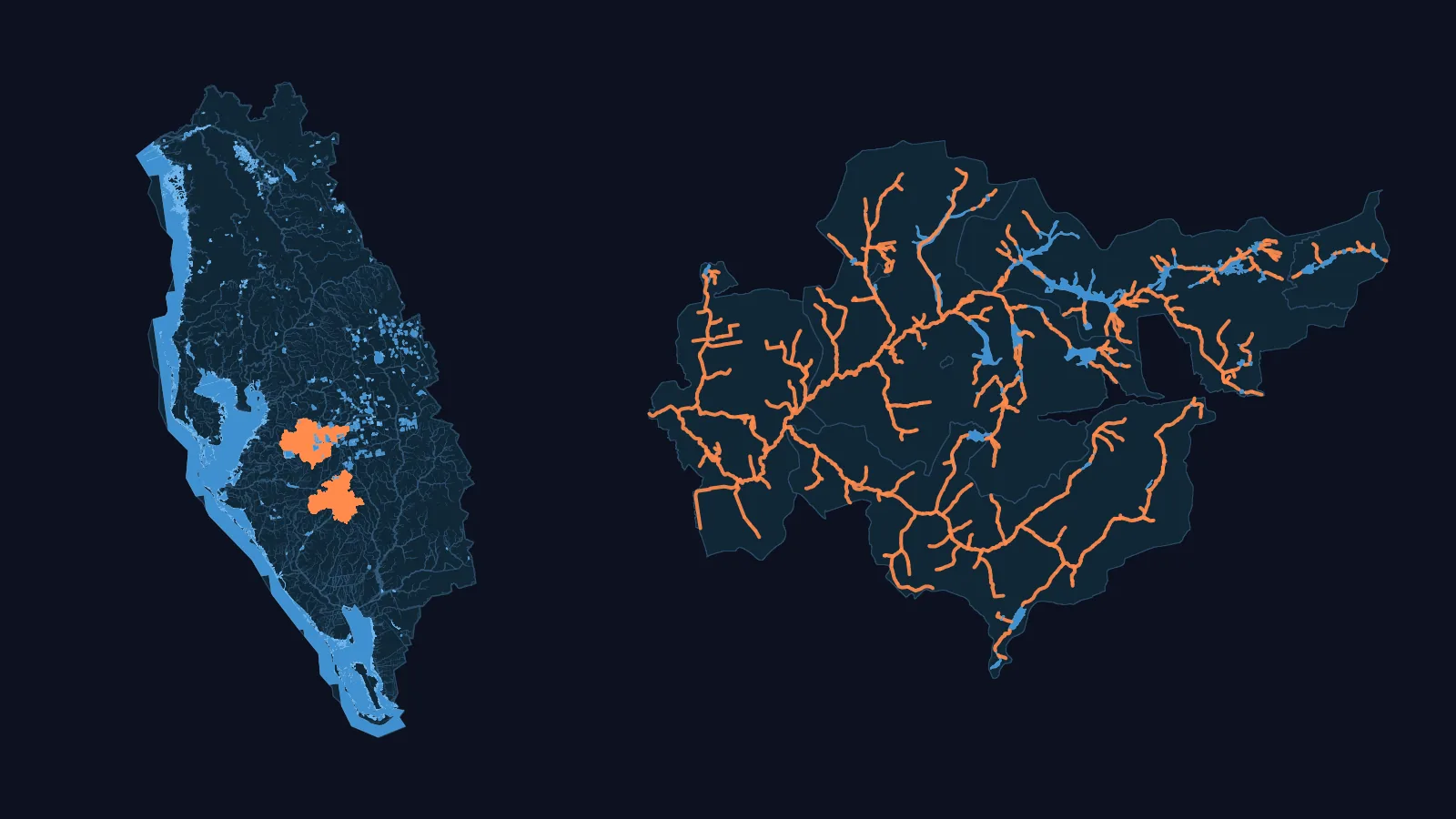
- 4 published SWAT+ models
- NHDPlus HR: 18,147 km of network flow paths, 2.3x NHDPlus V2.1's 7,883 km; canals are in both counts
- 130 USGS gauges with a 90 % daily record, 2014-2024 (10 of 11 HUC8s covered)
- 11 HUC8s both datasets carry, 25,258.0 km² (WBD HUC12 sum)
Basin: HUC4 0310 (Peace-Tampa Bay) of the USGS Watershed Boundary Dataset.
NHDPlus HR, not Version 2, in this basin
A model of your Florida watershed
We build a SWAT+ model for a USGS stream gauge in Florida, from national data. You download it as files you open in SWAT+ Editor and run, and you keep the files.